Design in Policy
These projects encompass some of my best design work at AidData, a think tank researching foreign financial policies.
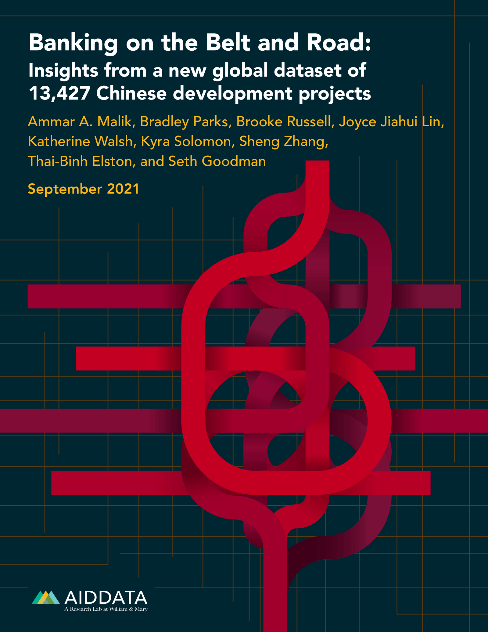

Banking on the Belt and Road
This cover has winding red ribbons to show the complex paths and levels of the Belt and Road Initiative from China.
– Designer, Format, Layout
https://www.aiddata.org/publications/banking-on-the-belt-and-road
Investing in Kenya’s People
This cover shows the outline of Kenya with overlapping textured patterns of red and blue that create deeper colors to illustrate the potential richness of the US-Kenya relationship.
– Designer, Format, Layout
https://www.aiddata.org/publications/investing-in-kenyas-people
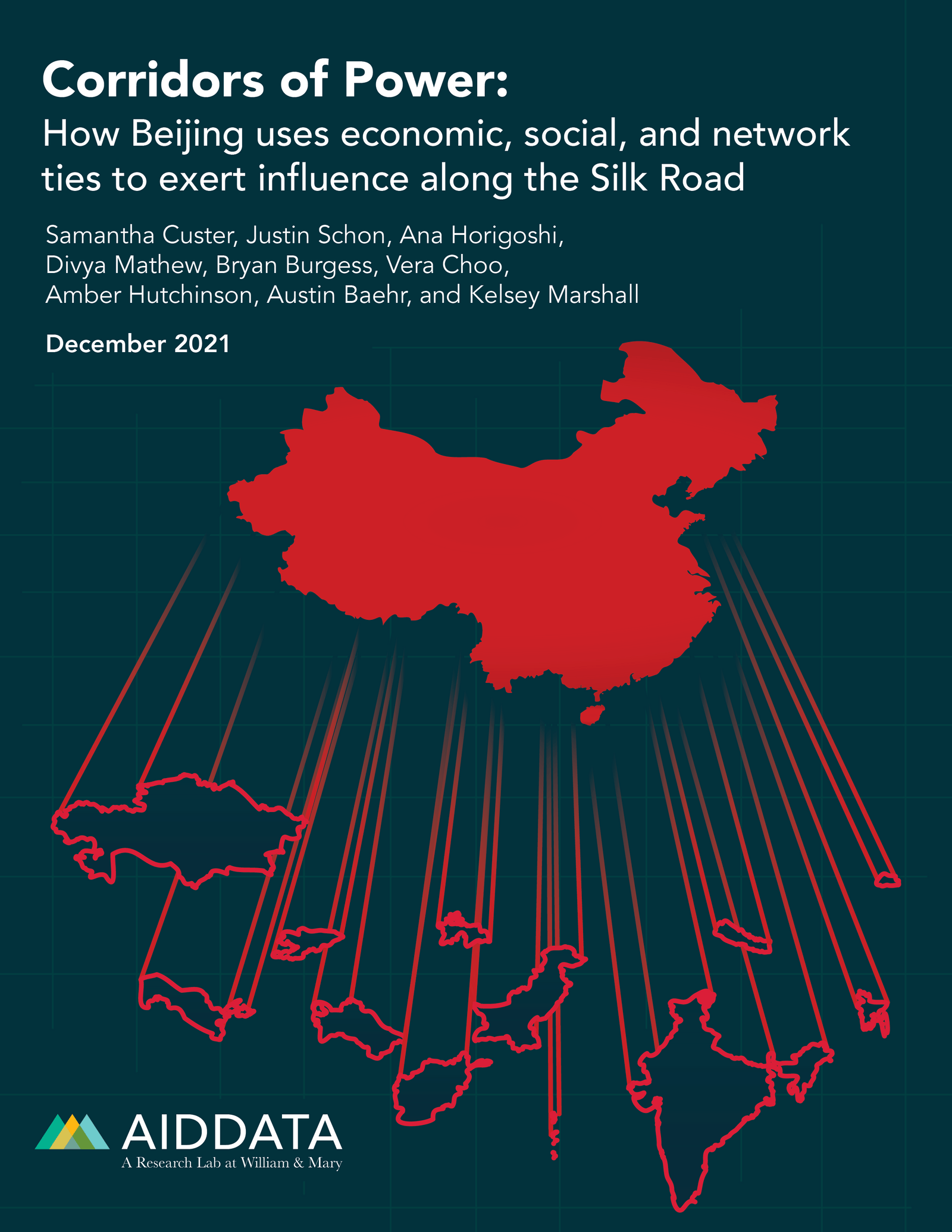

Corridors of Power
This cover shows how China is connected to each country in South and Central Asia. The connections can be viewed as either red string, or pillars forming from China.
– Designer, Format, Layout
https://www.aiddata.org/publications/corridors-of-power
Silk Road Diplomacy
This cover uses silk ribbons to map out the Silk Road through each of the South and Central Asian countries. The ribbons also show how China has ingrained itself in each country as a key financial contributor.
– Designer, Format, Layout
https://www.aiddata.org/publications/silk-road-diplomacy
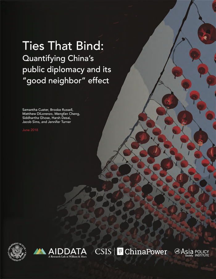
Ties That Bind
The first cover made at my job with AidData, this stylized illustration shows Chinese lanterns strung up against the sky, which can also be a visual metaphor for all the foreign ties China has.
– Designer, Format, Layout
https://www.aiddata.org/publications/ties-that-bind
The world’s most comprehensive dataset on China’s overseas development finance program
In this video, we cover AidData’s new, comprehensive global dataset on Chinese overseas development finance program, capturing more than $800 billion in financing to 165 countries over an 18 year time period. This was one of a three part series.
– Director, Storyboarder, Animator, Editor
Collecting the data on China’s overseas development finance
In this video, we explore AidData’s process on collecting and verifying the data that makes up our comprehensive data on Chinese overseas development finances. This is the second video of a three part series.
– Director, Storyboarder, Animator, Editor
How to navigate our dataset on China’s overseas development finance
In this video, we walk you through on how to search for a specific project in our dataset on Chinese overseas development finance. This is the final video of a three part series.
– Director, Storyboarder, Animator, Editor
An Introduction to Geospatial Data and GeoQuery
We introduce GeoQuery, AidData’s free platform for creating customized geospatial datasets, and explore how GeoQuery can help you and your organization get the data you need to make better, evidence-driven decisions. You’ll learn what geospatial data is, how it is used, and how it can help you with a variety of different analyses.
– Director, Storyboarder, Animator, Editor
How Does GeoQuery Work?
We take a closer look at how GeoQuery, AidData’s free tool for accessing geospatial data, works behind the scenes to get you the data you need. We’ll examine how GeoQuery puts together the data you request, and from where GeoQuery sources its data.
– Director, Storyboarder, Animator, Editor
Using Geospatial Data: Real World Use Cases
Explore real-world examples of how different organizations use geospatial data to solve challenges. Showcased here is an example of how the Institute for Health Monitoring and Evaluation (IHME) used geospatial data to track progress on child malnutrition for several African countries, including Zambia. By combining diverse sources of geospatial data, they unlocked insights into where in the country child malnutrition was worst to achieve the WHO’s targets.
– Director, Storyboarder, Animator, Editor
AidData and Geospatial Data
In this video, AidData’s Chief Economist and Director of Research and Evaluation, Ariel BenYishay, provides an overview of development programs that AidData has evaluated with geospatial impact evaluations (GIE), and how geospatial data has evolved over time.
– Director, Storyboarder, Animator, Editor
Better Analysis with GIEs
In this video, AidData’s Chief Economist and Director of Research and Evaluation, Ariel BenYishay, reviews how geospatial impact evaluations (GIEs) can help recover baselines of a project and how, as a result, GIEs can better analyze the overall impacts of a project.
– Director, Storyboarder, Animator, Editor
The Advantages of GIEs
In this video, AidData’s Chief Economist and Director of Research and Evaluation, Ariel BenYishay, reviews the advantages of using geospatial impact evaluations (GIEs) to evaluate projects.
– Director, Storyboarder, Animator, Editor
How Beijing uses economic, social, and network ties to exert influence along the Silk Road
In this video, we give a comprehensive overview of our latest report, “Corridors of Power,” on China’s influence in the South and Central Asia region. We analyzed Beijing’s efforts to cultivate economic, social, and network ties with 13 countries in South and Central Asia (SCA) over two decades.
– Director, Storyboarder, Animator, Editor
A Step-by-Step Guide to Using GeoQuery
We guide you through the process of getting data from GeoQuery, AidData’s free platform for creating customized geospatial datasets. We’ll be looking at extracting yearly precipitation data for districts in Kenya. You’ll learn the different levels of boundaries you can select within a country, the types of data available on the platform, and what exactly you get when you download data from GeoQuery.
– Director, Storyboarder, Animator, Editor
